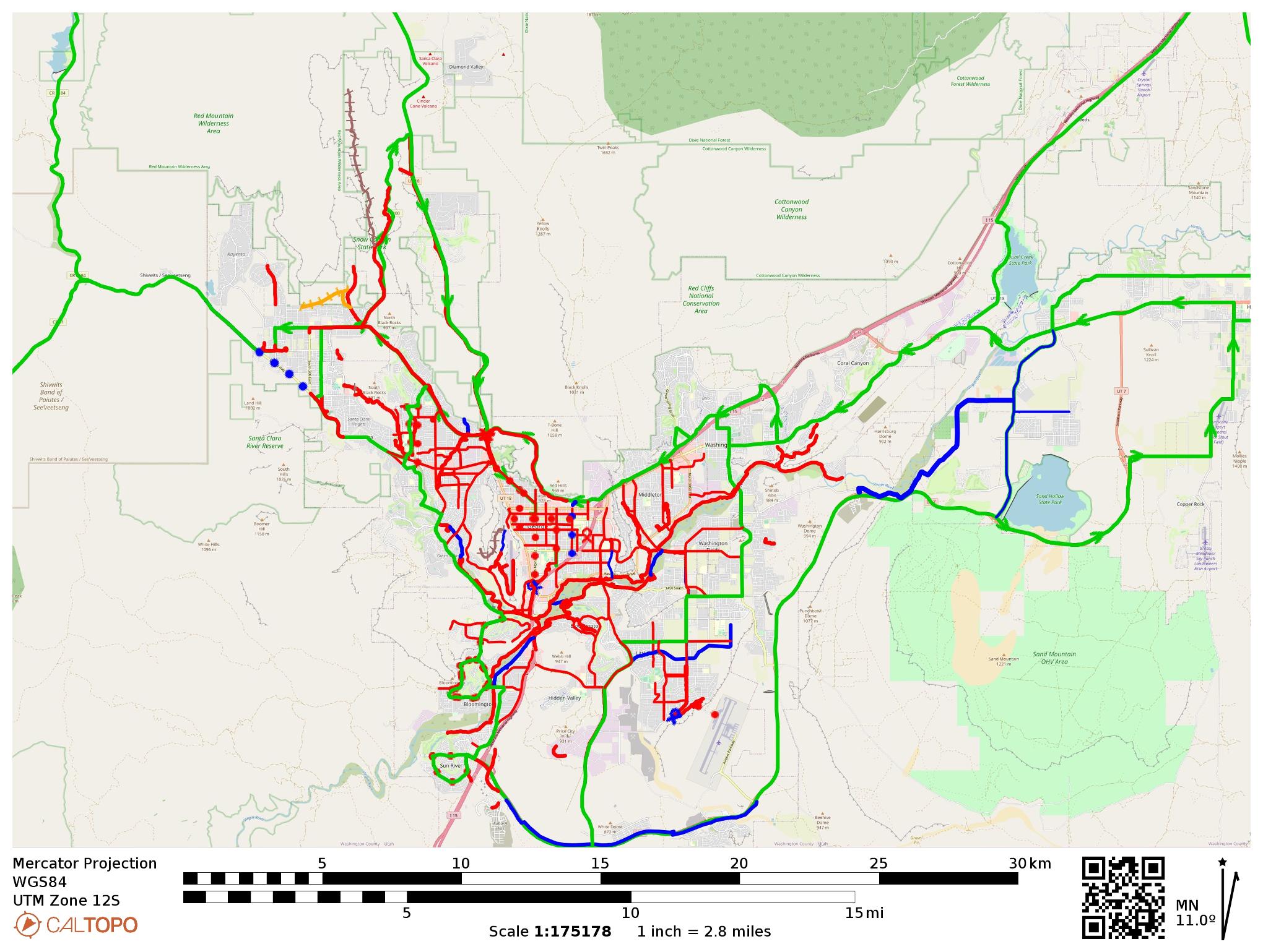
This map displays most of the Bike Routes, Multi-use Trails and plans in the greater St George area. Zoom and pan to discover current and planned trails.
If you click anywhere on the map, an interactive map will open up for you to further explore and download track(s) if you like. Each path and route can be downloaded onto your device in GPX format so you can use to navigate your way around our City. The interactive map will give you options to display and hide various categories of trails, routes and paths.
Enjoy your exploring!
Map Legend
| Paved Shared Use Trails | Solid Red Line |
| Bike Route | Solid Green Line |
| Bike Lane | Dotted Red Line |
| Municipality Plans | Solid Blue Line |
| Natural Surface Bike Trail | Brown Dotted Line |

